


The Rome metro, inaugurated in 1955, consists of three main lines: A (orange), B (blue), and C (green). It serves central and peripheral neighborhoods, connecting key sites such as Termini station, the Colosseum, and the Vatican. Line C, still expanding, incorporates modern technologies and automated stations. Despite its limited network compared to other European capitals, it offers a fast way to avoid the city’s heavy traffic. Its operation starts around 5:30 AM and ends around 11:30 PM, with extended night service on weekends. Tickets are valid across the entire Rome public transport network.
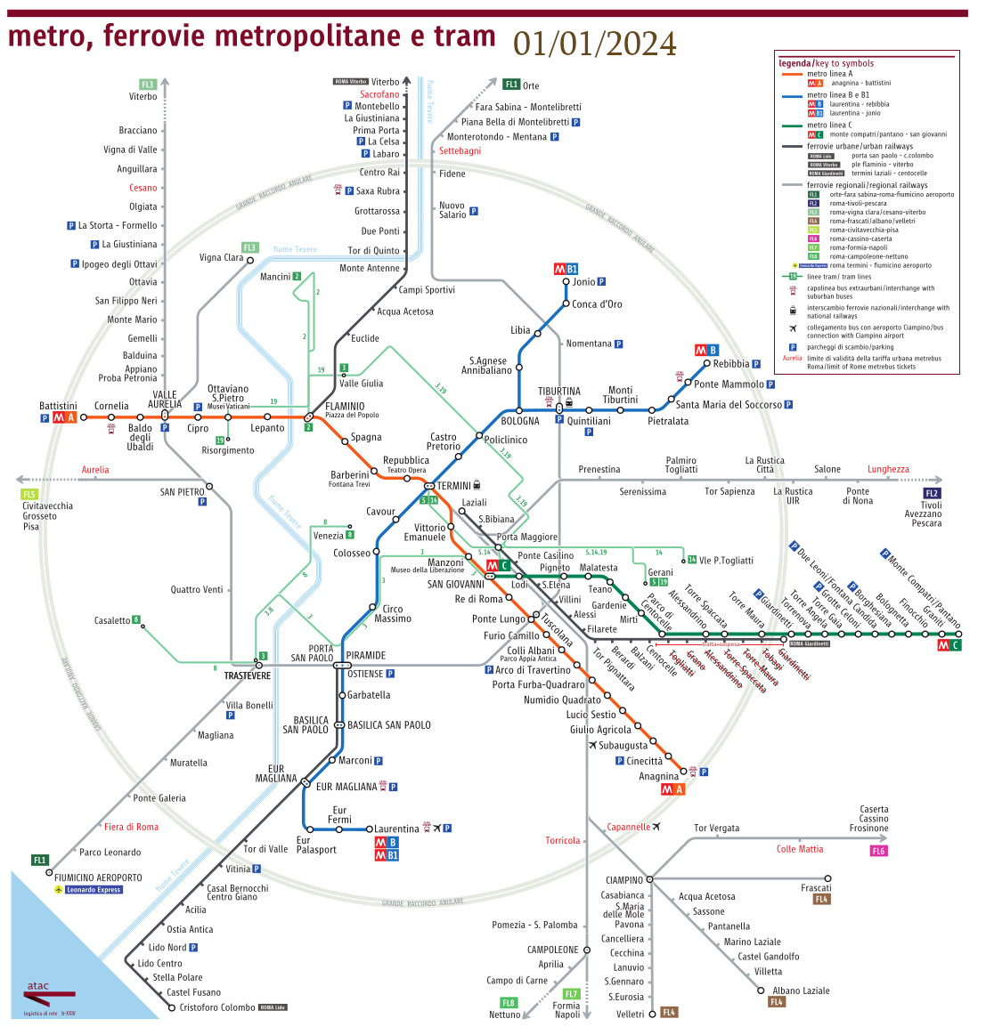
Map of the metro and railway network in Rome 2024
Map of the metro and rail lines in metropolitan Rome, updated February 20, 2024
See also the updated map on the ATAC website
